Ask anyone in Ireland, and as a population we’re generally convinced that the majority of the world loves us and embraces the Irish culture and people with open arms.
This might be true in some cases.
U2 are one of the biggest bands over the last 40 years, Guinness is widely enjoyed around the world, and more and more GAA clubs pop up in places far flung from Dublin, Donegal or Down.
That being said, not everybody knows where Ireland is and where we actually hail from.
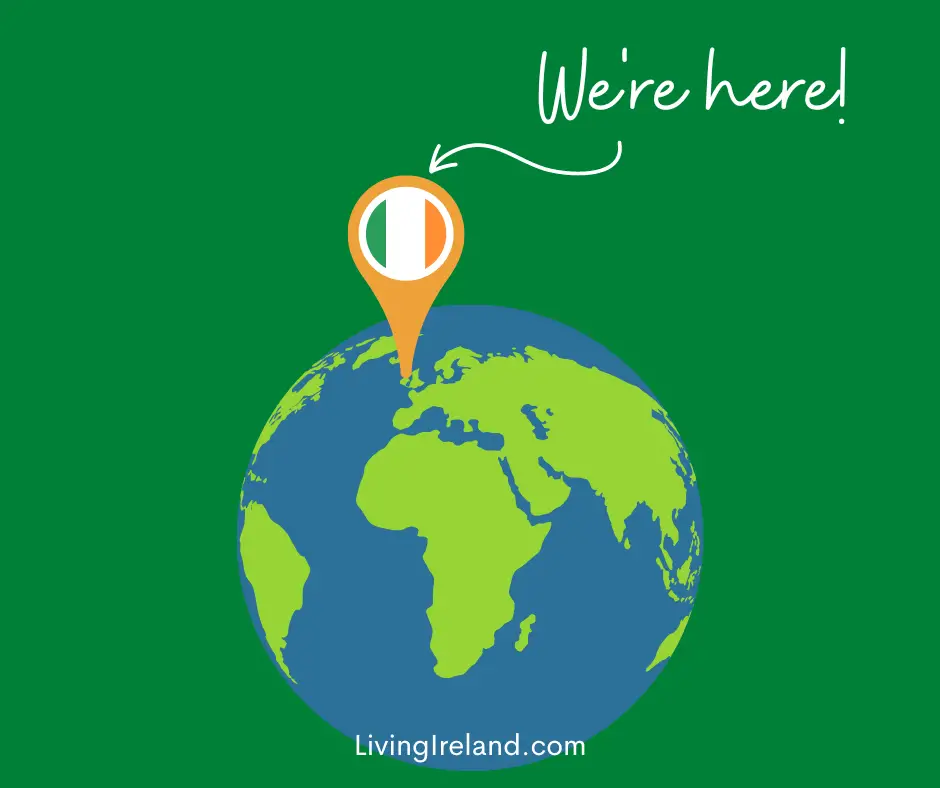
Where is Ireland on the World Map?
Different nations, and sections of the globe, use different maps but we’ll stick to the map normally used in most Irish schools, which (conveniently) places Europe slap bang in the middle.
In this map, as you’ll see from the images below, Ireland sits near the top of the globe, tucked in on the north-eastern edge of the Atlantic Ocean, with England and mainland Europe to the east, and Iceland and Greenland to our north-west.
No wonder Ireland can be chilly at times…
As you can see in the below, more traditional flat-style map, Ireland sits on the edge of continental Europe with England and the rest of the UK as our closest neighbour.
Almost directly below, you’ll find Spain and Portugal and beyond that the African continent.

We’re just a small spec in the grand scheme of things, but we make a pretty loud noise for an island of approximately 6 million people in total.